BYM GEOPHYS
APPLIED GEOPHYSICS
BYM GEOPHYS conducts non-destructive terrain inspections using advanced techniques and state-of-the-art equipment, providing precise information about the geological and geotechnical characteristics of the subsurface.

BYM GEOPHYS
BYM GEOPHYS specializes in providing comprehensive solutions to hydrogeological, geological, and structural challenges through various advanced geophysical techniques. Our team of experts utilizes specialized methodologies to meticulously assess the subsurface, delivering effective solutions backed by a profound understanding of the issues at hand.
Functions
- Terrain and structures inspection with georadar (GPR), electrical tomography (ETR), time domain electromagnetic equipment (TDEM), magnetometry and gravimetry.
- Geophysical technical assistance
- Training in handling equipment and methods
- Data reinterpretation
- Scientific consulting
SERVICES

Sensorization
We innovate through the design, development, and manufacturing of custom sensors, while specifically adapting commercial sensors for high-performance geophysical characterizations.

Predictive maintenance
We implement an advanced monitoring system with early warning capabilities, covering a variety of critical terrains including slopes, dams, and potential collapses.

Hydrogeophysics
We conduct comprehensive geophysical characterization, encompassing detailed information gathering, on-site data collection, and dedicated fieldwork. Additionally, we provide specialized technical assistance to optimize geophysical studies, ensuring accurate and efficient results.

Modelling
Numerical simulation of wave propagation, vibrations, electrical currents, and electronic phenomena, including coupled models for integrated and precise analysis.

Data science
Specializing in advanced data processing, we employ Machine Learning and Big Data techniques for detailed analysis and extraction of meaningful patterns. Our customized solution optimizes information management for precise strategic decision-making.

R&D Technology
Scientific Consulting and Development of Applied Research Studies in geophysics to drive innovation and technological advancement in your company.
SECTORS

Industry and Mining
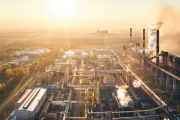
We provide solutions for inspecting and monitoring terrain and artificial structures during production and operation tasks in extractive and manufacturing industries.

Environment
Solutions to control and monitor environmental aspects associated with the terrain, such as slope instability, soil alterations, climate change, etc.

Energy
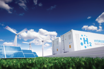
We provide solutions to enhance efficiency in production, network transportation, and energy distribution.

Civil works and Construction
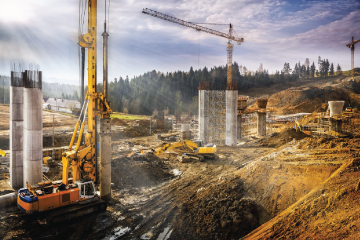
Solutions to address challenges related to the terrain, whether in preliminary studies, during project execution, or in subsequent maintenance.
